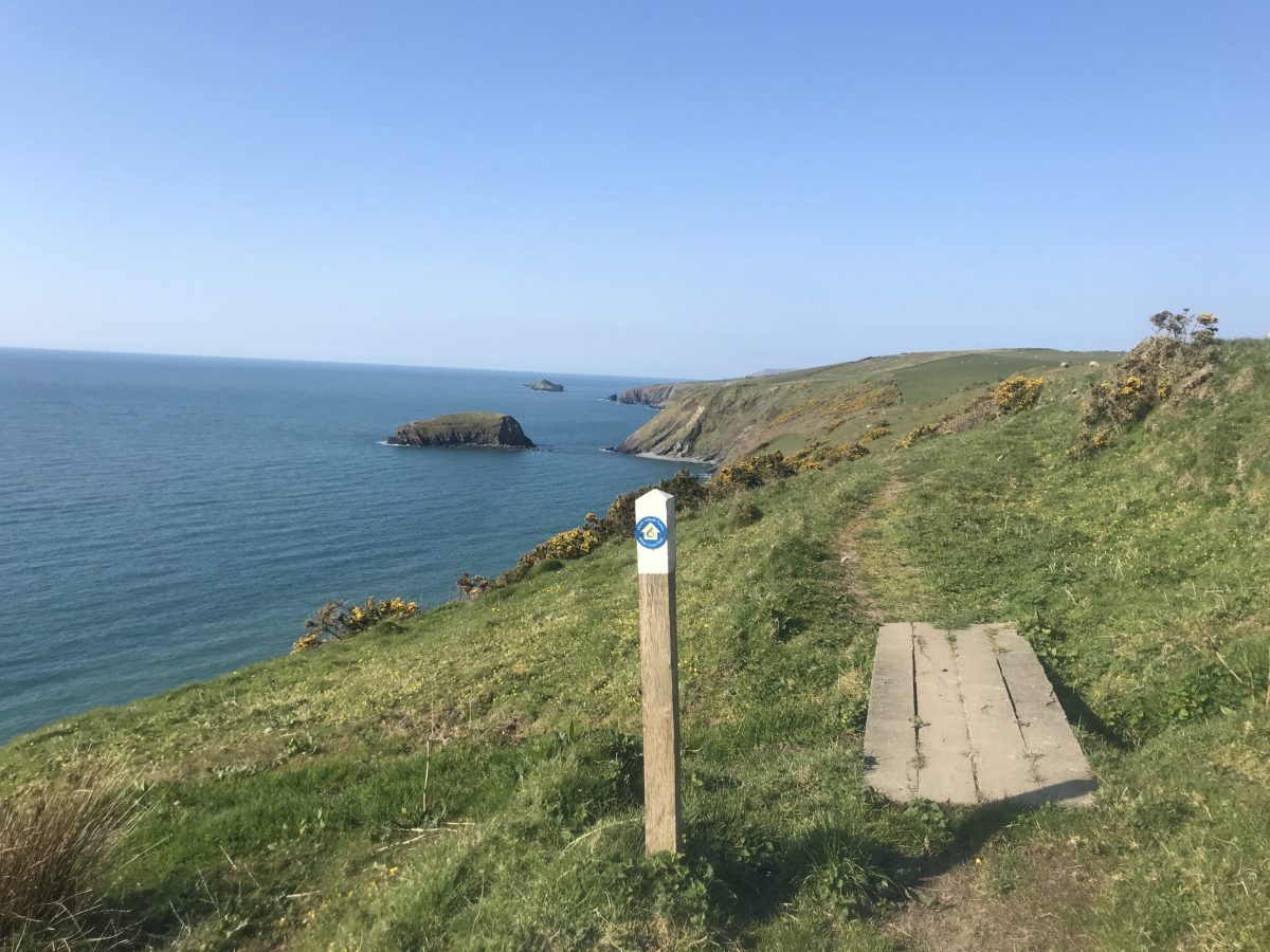
The North Wales Coastal Path
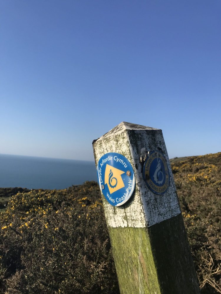
Forming part of the wider Wales Coastal Path, the North Wales Coast Path spans approximately 383 miles from the English border near Chester to Machynlleth, the ancient capital of Wales. Launched in May 2012, the Wales Coast Path is a larger, 870-mile adventure of spellbinding scenery, fascinating history and iconic landscapes. It combines pre-existing sections of maintained coastal paths up and down the country into one waymarked trail for all to enjoy. In this guide, we’re exploring the different sections of the North Wales coastal path, where to stay while walking them and which stretches are particularly special.
Jump to…
- The Llŷn Peninsula coast path
- The Dee estuary & North Wales coast
- The Isle of Anglesey
- Snowdonia: Harlech & Barmouth
- North Wales coast path map
- The best coastal walks in North Wales
- Cycling the North Wales coast
- North Wales coastal path FAQs
The Llŷn Peninsula coast path
The Llŷn Peninsula section of the North Wales coast path is nothing short of stunning. Rugged, remote and exposed to the elements that roll off the Irish Sea, it offers a chance to admire glorious flora and fauna, as well as walk in the footsteps of pilgrims, sailors, artists and poets.
The path, which follows the coastline from Bangor or Caernarfon right around to Porthmadog, opened in 2006 and contains part of the ancient pilgrimage route to Bardsey Island, Ynys Enlli. Along with historical relics, walkers can spot bottlenose dolphins, Atlantic grey seals, choughs and sand martins. The route is split into eight recommended sections, but the obvious waymarking and pretty villages make it easy to walk it however you’d like.
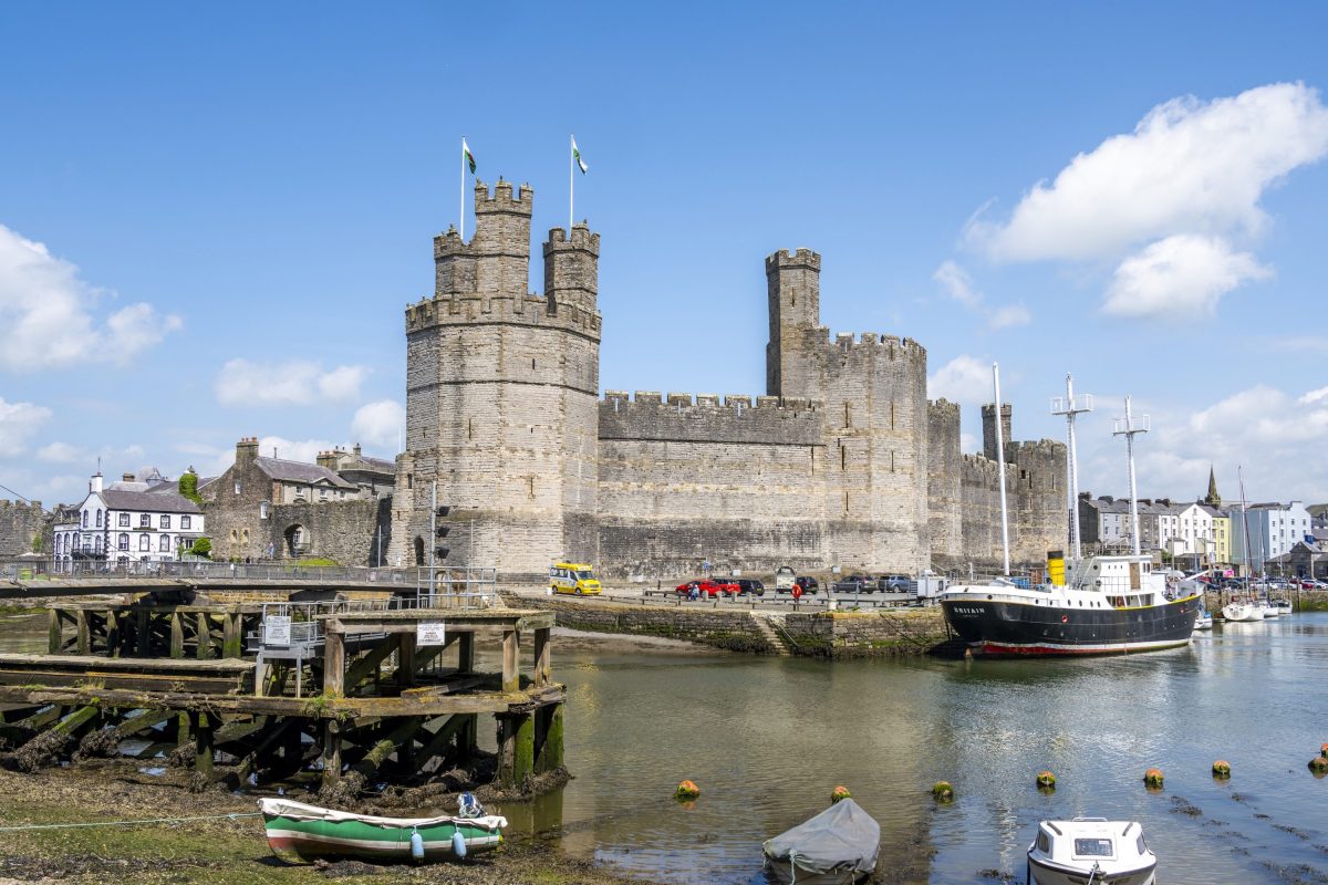
Section 1: Caernarfon (or Bangor) to Trefor
Distance: 17.5 miles (starting from Bangor adds extra mileage)
Start point: Caernarfon Castle
End point: Trefor Harbour
Much of this section follows quiet laneways slightly inland from the water, but it does enjoy views of the Menai Strait and Caernarfon Airport. You’ll then continue along a stretch of straight road to pretty Trefor and its harbour.
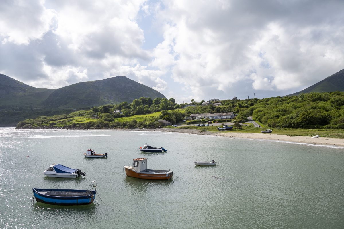
Section 2: Trefor to Nefyn
Distance: 9.5 miles
Start point: Trefor Harbour
End point: Nefyn Village – or the Tŷ Coch Inn to reward your efforts
A varied, challenging and rewarding section with inspiring views and industrial echoes. Discover the Nant Gwrtheyrn Welsh Learning Centre (and former working quarry), pass prehistoric hillforts and drop into the Grade I-listed St Beuno’s Church in Pistyll before arriving at Nefyn – a picturesque fishing village.
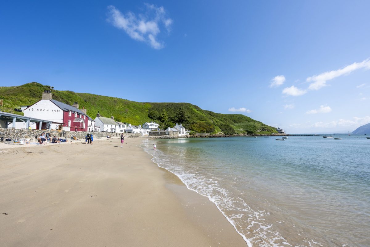
Section 3: Nefyn to Porth Colmon
Distance: 12 miles
Start point: Nefyn Village
End point: Porth Colmon (just past the small farmhouse at the far end of the beach)
From the stunning promontory of Porthdinllaen and around Nefyn Golf Course, you’ll continue along grassy cliffs, following the coastline as it undulates alongside the sea. This is a hugely popular stretch for seals, so do keep an eye out and plan for a few stops to admire the view. Other highlights include the beautiful crescent bay at Porth Towyn and the ruins of an 18th-century cliff-top customs house beside Porth Ysgaden.
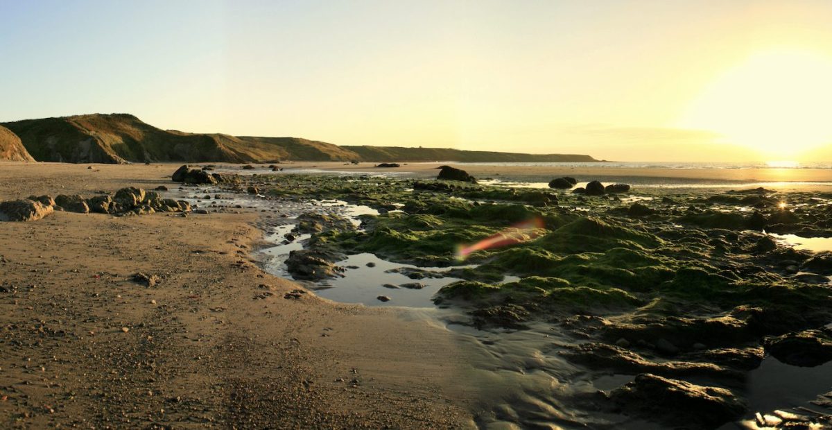
Section 4: Porth Colmon to Aberdaron
Distance: 14 miles
Start point: Porth Colmon (just past the small farmhouse at the far end of the beach)
End point: Aberdaron
A ‘semi-wild’ section that takes you to the Land’s End of North Wales; this stretch has a real sacred feeling about it as you approach Aberdaron and the ‘Island of 20,000 Saints’ comes into view: Bardsey Island. Known as Ynys Enlli in Welsh, Bardsey is said to be the burial place of 20,000 saints, and during the Middle Ages, taking a pilgrimage there was considered equal to Rome.
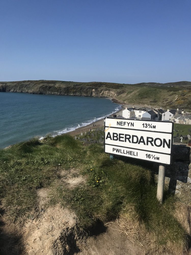
Section 5: Aberdaron to Hell’s Mouth
Distance: 11 miles
Start point: Aberdaron
End point: Car park at the southern end of Hell’s Mouth
Another stunning section at what feels like the edge of the earth, this part of the Llyn coast path is known for its abundant wildlife, secret beaches and quaint stone cottages, including the National Trust property Plas Yn Rhiw towards the end of the walk.
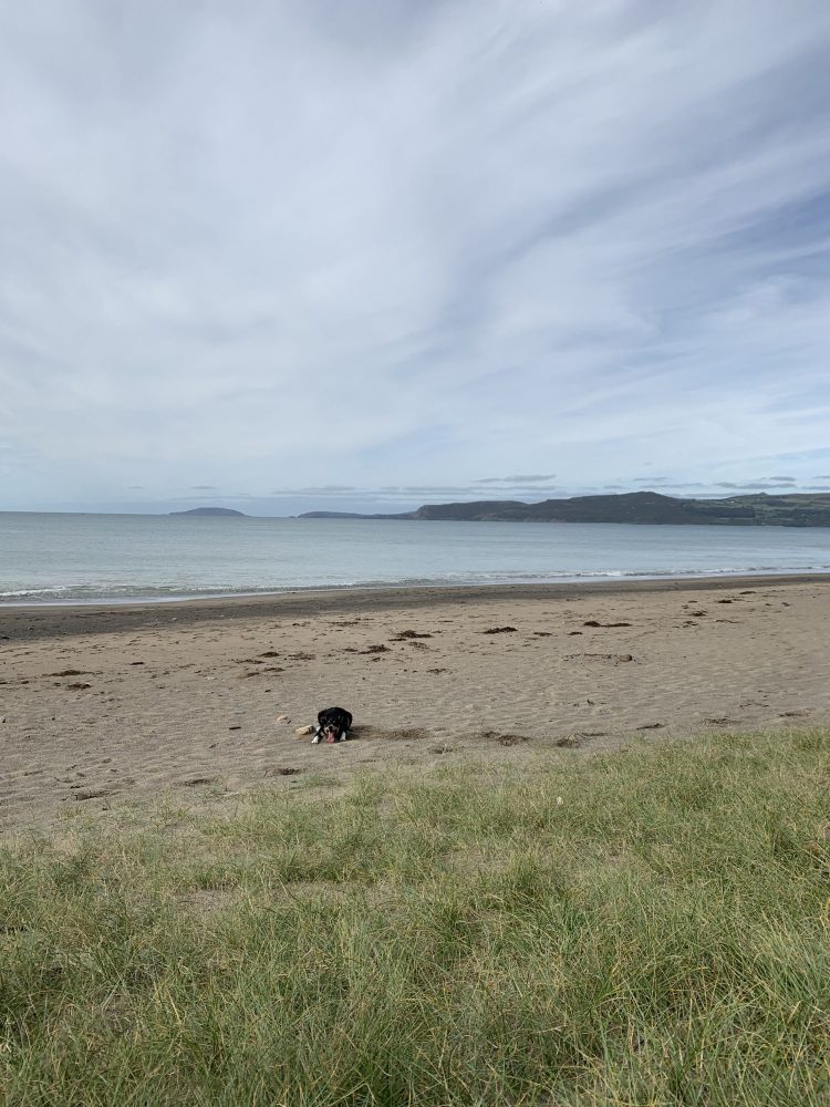
Section 6: Hell’s Mouth to Llanbedrog
Distance: 14 miles
Start point: Car park at the southern end of Hell’s Mouth
End point: Llanbedrog
From Hell’s Mouth, you’ll curve around the headland before arriving at the secluded fishing-village-turned-upmarket-surf-resort of Abersoch. Enjoy a pit stop here (there are lots of great places in the village for food and drink) before continuing along the beach to Llanbedrog. Look out for the ‘Tin Man’ as you round Mynydd Tir-y-cwmwd before descending into woodland beside the art gallery, Plas Glyn-y-Weddw.
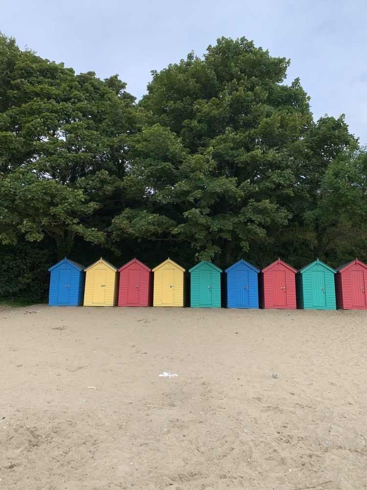
Section 7: Llanbedrog to Criccieth
Distance: 15.5 miles
Start point: Llanbedrog
End point: Criccieth Castle
A relatively easy walk along shingle, this section of the path runs through the heart of Pwllheli, the largest town on the Llyn. From there, it’s a healthy mix of beachfront paths, laneways and fields to Criccieth, where the medieval castle awaits.
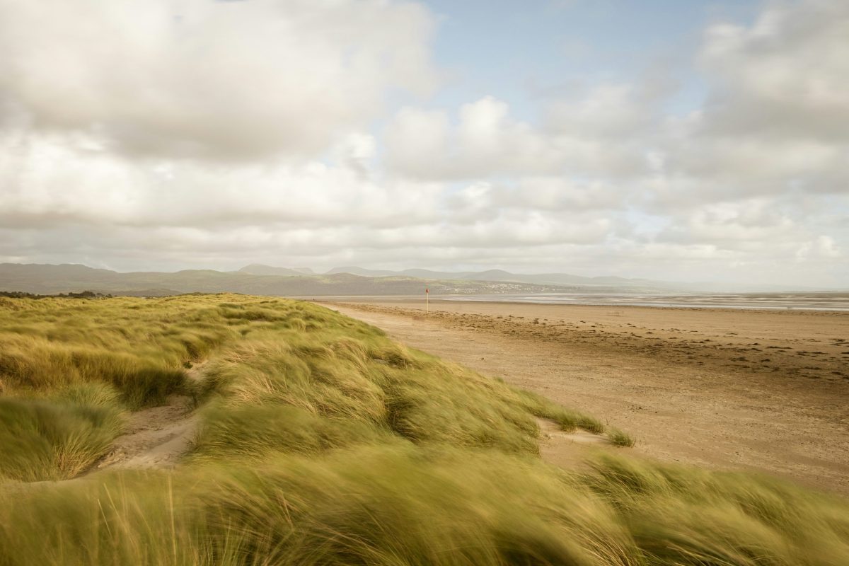
Section 8: Criccieth to Porthmadog
Distance: 6.5 miles
Start point: Criccieth Castle
End point: Porthmadog Harbour
Short but sweet, the ‘final’ section of the Llyn coast path leaves Criccieth to curve around Black Rock Sands before enjoying stunning views alongside the Glaslyn Estuary as you approach Borth-y-Gest. We strongly recommend a pit stop on one of the benches that sit before the colourful houses at Minffordd roundabout. There are public toilets and a cafe here, too. Once you’ve fully soaked up the view, continue up the slight hill into Porthmadog.
The Dee Estuary & North Wales coast
Spanning from the English border to Bangor, this 81-mile stretch of the North Wales Coast Path begins right at the border – you can choose to start it at the official starting point on the border, near Chester, or you may wish to begin from the Offa’s Dyke National Trail finishing point on the beach in Prestatyn, further along the coast.
Highlights of this stretch of the North Wales coast path include:
- The photogenic Point of Ayr lighthouse, on Talacre Beach, built in 1776 and associated with ghostly tales of a lighthouse keeper who supposedly still appears on the balcony.
- Little & Great Orme, which are two limestone headlands that sit on either side of Llandudno, a Victorian seaside resort with a promenade and pier. As their names suggest, one is larger and more developed than the other. The Great Orme is nothing short of fascinating and is home to everything from copper mines to a wandering herd of Kashmiri goats.
The Isle of Anglesey
Encircling almost the entire island, this 135-mile section of the Wales Coast Path offers an extraordinary variety of landscapes, from sweeping sandy bays and dramatic sea cliffs to sheltered estuaries and rocky headlands.
Highlights include:
- Beaumaris Castle, one of Edward I’s great medieval fortresses.
- The colourful seaside village of Moelfre.
- The towering South Stack lighthouse, reached by a dramatic flight of steps on the island’s rugged north-west coast – it’s also a protected RSPB reserve and home to a variety of lesser-spotted avians.
- The Menai Suspension Bridge, which was designed by Thomas Telford and opened in 1826!
The Snowdonia Coast
Marking the spot where the mountains meet the sea, the section between Porthmadog and Machynlleth journeys from north to mid Wales via a scenic 70-mile stretch. The backdrop of Snowdonia gives the entire section an otherworldly feel, along with impressive beaches and age-old castles.
Highlights along the way include:
- Harlech Castle, an imposing fortress that looks out across the expansive beach below.
- The seaside resort of Barmouth, with its Grade II* listed wooden viaduct that stretches across the Mawddach Estuary.
- The quaint harbour village of Aberdyfi, which hugs the Dyfi Estuary on the approach to Machynlleth.
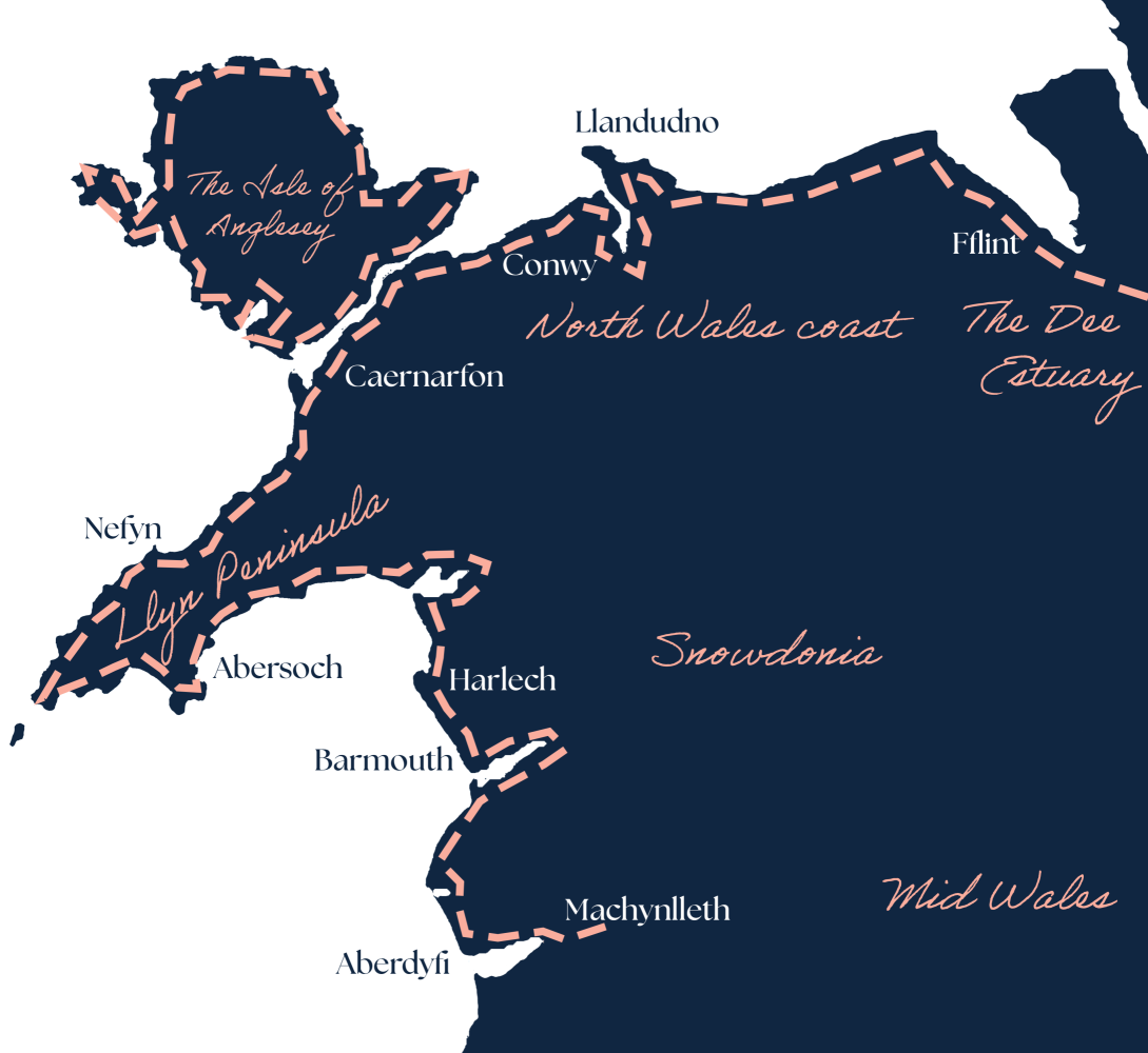
North Wales Coast Path map
From the English border westwards, the different sections and their estimated lengths are:
- The Dee Estuary & North Wales Coast: 81 miles from Chester to Bangor
- The Isle of Anglesey: 135 miles, encircling the island
- The Llyn Peninsula: 113 miles from Bangor round to Porthmadog
- The Snowdonia Coast: 70 miles from Porthmadog to Machynlleth
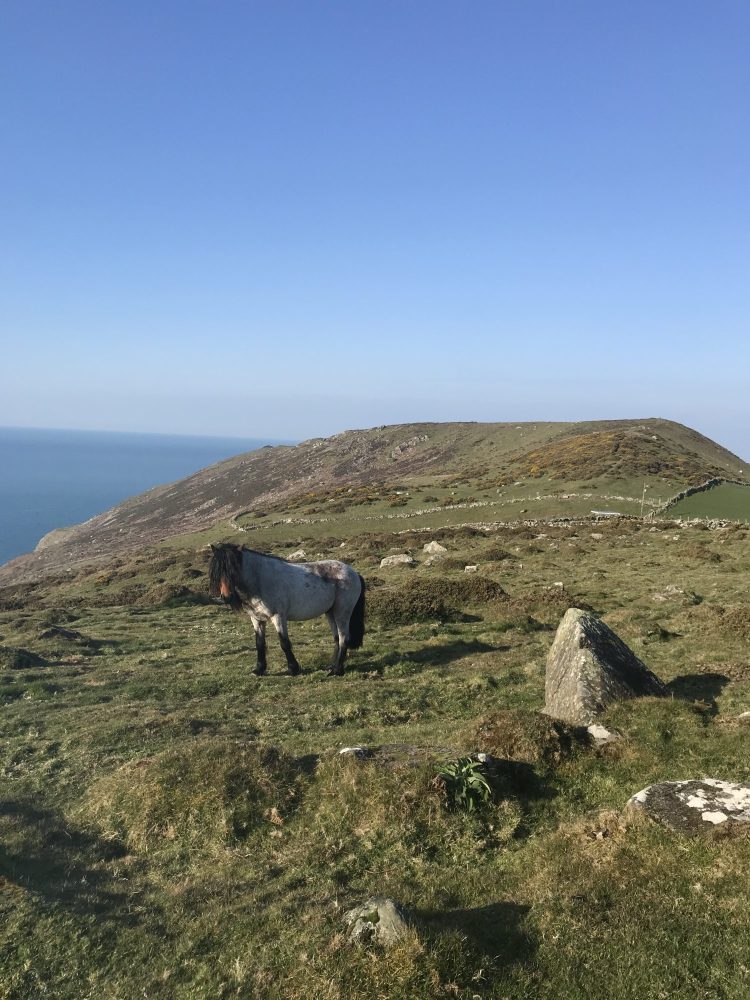
The best coastal walks in North Wales
In terms of what ‘the best’ means, we know it differs from walker to walker. For some, it might be all about what little legs are able to manage (both human and canine), while others might be all about escaping the crowds and connecting with nature. Here are four of the best stretches for four very different itineraries:
Best for nature – If it’s dolphins, seals and birds you want to spot along your way, opt for the Nefyn to Porth Colmon segment of the Llyn Peninsula for seals and dolphins, or the Porth Trwyn to Cemaes leg along the Anglesey Coast Path.
Best for children – We know that little legs tire easily, which is why we would suggest the 6.5-mile Llyn Peninsula stretch between Criccieth and Porthmadog, or any length of the path leading to and from Pwllheli, a town that caters very well to families.
Best for scenery – Scenery is one thing that North Wales definitely isn’t short of. For coastal walks that are very easy on the eye, go for the Llyn Peninsula stretch from Trefor to Nefyn or Llyn Rhos Ddu to Aberffraw on Anglesey.
Best for avoiding the crowds – Aberdaron is as far as you can go on the Llyn Peninsula, which usually means you’ve whittled the numbers down to the very keen few by making the journey. Alternatively, the northern reaches of Anglesey around Cemaes Bay and Amlwch offer a similar serenity.
Cycling the North Wales coast
Cycling is one of the best ways to experience the North Wales coast, particularly between Chester and Bangor, where much of the Wales Coast Path runs alongside the National Cycle Network and is flat, well-surfaced and largely traffic-free. The standout stretch is Prestatyn to Llandudno, around 16 miles along National Cycle Network Route 5, linking the seaside resorts of Prestatyn, Rhyl, Colwyn Bay and Llandudno with wide sea views and glimpses inland towards the Clwydian Hills; it is mostly tarmac and suitable for families and casual riders.
For a shorter, gentler ride, the Lôn Las Menai between Y Felinheli and Caernarfon is a 4.5-mile, traffic-free route on a former railway line, with lovely views over the Menai Strait towards Anglesey and an easy finish at Caernarfon Castle. Cyclists should remember that the Wales Coast Path is primarily a walking route, so it is important to stick to the designated cycle sections and NCN alternatives rather than assuming the whole path is open to bikes.
The North Wales Coast Path: FAQs
The entire Wales Coast Path spans 870 miles, following the coast from the English border in the north at Chester to Chepstow in the south. The North Wales stretch is much shorter at 383 miles, from Chester to Machynlleth.
There are too many seriously scenic stretches of the Wales Coast Path to narrow it down to just one. Some of our favourite coastal path segments for visual drama here in North Wales include:
Rhiw to Aberdaron, Llyn Peninsula
Llyn Rhos Ddu to Aberffraw, Isle of Anglesey
The Great Orme Circuit, Llandudno
South Stack Extension, Isle of Anglesey
Porthdinllaen Marine Trail, Llyn Peninsula
We’ve got a cracking coastline, with plenty of pretty coastal villages charming enough to rival those in Cornwall. For that sort of sandy-footed surf culture vibe, we’d suggest heading for Abersoch or Rhosneigr, while those seeking pure serenity and solitude (particularly during the winter months) should head for Morfa Nefyn, Aberdaron, Moelfre and Cemaes Bay.
North Wales is seriously underrated; so many places here feel like hidden gems. From ancient pubs directly on the beach (like the Ship Inn at Red Wharf Bay & the Ty Coch) to breathtaking beaches and ancient castles. There is so much to see, do and enjoy.
Stay on the North Wales Coastal Path Oyster Holiday Cottages
Walking the North Wales coastal path is easy with Oyster – we have a wealth of options all situated within easy reach of different stretches of the path. Choose from a range of cottages in the different coastal villages and towns throughout North Wales, including the Llyn Peninsula, Isle of Anglesey and Snowdonia.