

Anglesey Coast Path: The Ultimate Guide
The Anglesey Coast Path is quite possibly one of the most enjoyable ‘challenges’ you could seek to undertake. At around 135 miles long (depending on how much you detour into charming stone villages, quaint churchyards and hidden coves), the path provides ample opportunity to get outside and reconnect with nature. Fill your lungs with salt air as you follow in the footsteps of pilgrims and fishermen, refer to an actual paper map as opposed to a screen, and be fully present as you slip into an easy rhythm and pace, only focusing on the stunning views and where your foot is going to fall next. To top it all off, end each day watching the sun slip into the sea, legs aching, face smiling.
Long-distance walking is also a great way to experience somewhere, meet local people and properly immerse yourself in the culture – where better to do all of that than the Isle of Anglesey? Below, we’ve compiled an ultimate list of Anglesey Coast Path FAQs and some details on each of the 12 suggested segments.
When was the Anglesey Coast Path established?
The Anglesey Coast Path was officially opened on the 9th June 2006.
Where are the best places to stay along the Anglesey Coast Path?
Holyhead is a great base for walking the Anglesey Coast Path, thanks to its proximity to the train station and it being the start and end point of our guide. However, if you have access to a car or you want to experience some authentic Anglesey scenery, we’d recommend the following places:
Trearddur Bay sits directly on the coastal path and is only a short distance from Holyhead. It’s a popular seaside resort during the summer months and has plenty of shops, cafes, bars and restaurants.
Rhosneigr is another scenic option, with a large beach popular with windsurfers and kite surfers. There are a lot of independent shops, cafes and restaurants to enjoy here, too.
Menai Bridge & Beaumaris offer the perfect combination of history, scenery and easy access to the coastal path. They are neighbouring towns set just 4.3 miles apart on the south of the island, perched on the coastline closest to mainland North Wales.
Benllech, on the north-east side of the island, is great for easy access to some hustle and bustle, as well as a beautiful and expansive beach. You’ll also find Moelfre just a couple of miles north, which is a charming fishing village that hugs the coastline.
Anglesey Coast Path – FAQs
The Isle of Anglesey coastal path is approximately 135 miles long. The length can change due to diversions, high tide and any detours you take to discover the local area!
Yes – the Anglesey Coast Path forms part of the larger, long-distance Wales Coast Path, which was formed in 2012 and spans from Chepstow, Monmouthshire in the south, all along the coastline to the North Wales border in Flintshire.
There are lots of things to discover along the path, but some of the most notable are:
Holyhead Mountain – The Isle of Anglesey’s highest point; think sweeping, wind-sculpted views out across the Irish Sea.
South Stack Lighthouse – An iconic lighthouse set amidst dramatic sea cliffs where rare birds dive and soar – you can see amazing sunset views here!
Bwa Gwyn & Bwa Du (Rhoscolyn) – Amazing natural rock arches over the sea – minus the crowds that you get at similar locations such as Durdle Door.
Ynys y Fydlyn (Carmel Head) – A remote, tidal islet that perfectly summarises Anglesey’s rugged beauty.
Llanddwyn Island – A beach, nature reserve and stunning tidal peninsula that is steeped in legend, Welsh culture and history. Not to mention the awe-inspiring views out across Snowdonia.
Menai Suspension Bridge & Britannia Bridge – Two striking symbols of the island, designed by Thomas Telford and Robert Stephenson. Look out for the amazing hidden stone lions, one of which is easily accessible from the stretch between Beaumaris and Moel y Don, just as you emerge from the trees below the Britannia Bridge.
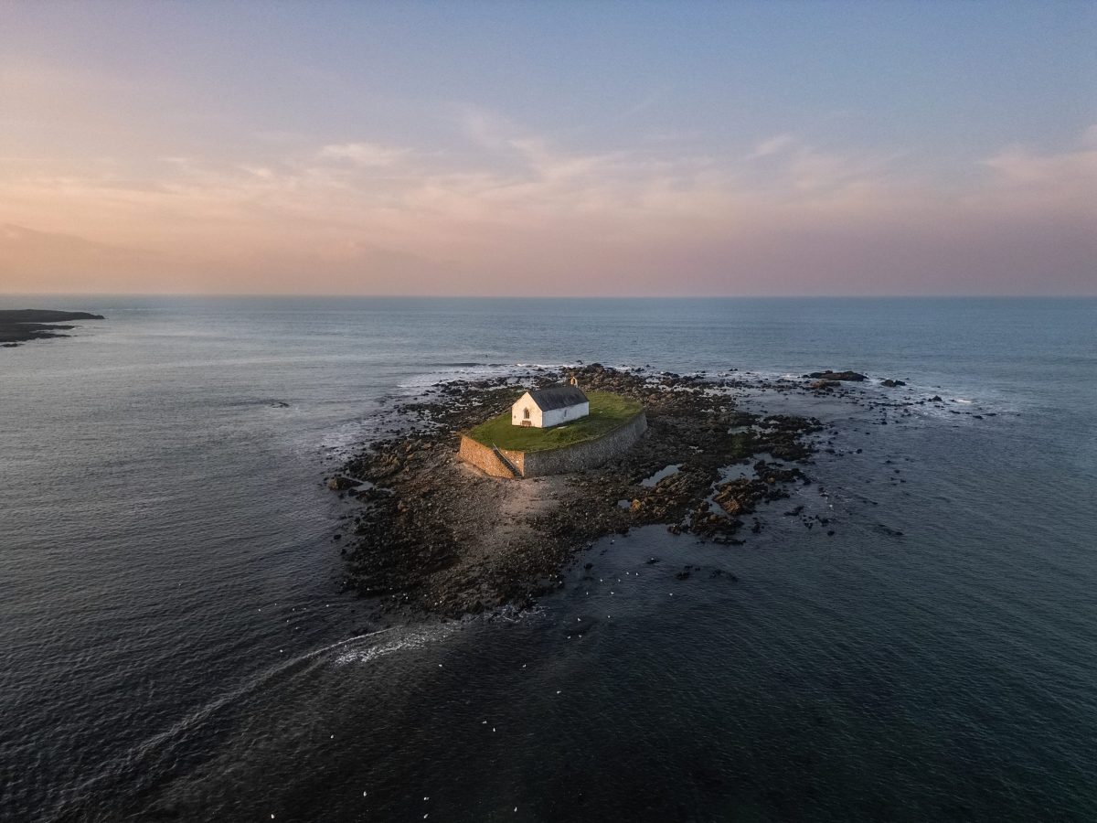
Eglwys Cwyfan, Llangwyfan (Aberffraw) – Known as the ‘Church in the Sea,’ this charming church is built on a tidal islet and is like something from a fairytale.
St Tysilio Church, Menai Bridge – At the end of the Belgian promenade leading out of Menai Bridge, this beautiful wooded islet is home to an incredibly scenic church and graveyard.
Cemlyn Nature Reserve – A haven for wildlife, especially nesting terns, this shingle lagoon provides a rare and peaceful ecological highlight along the path.
Penmon Point and Priory – A truly unique area home to beautiful historic architecture and uninterrupted views.
The best way to reach Anglesey is by car, which you can do so easily thanks to the A55 coast road, which joins the M56 over the English border. Alternatively, you can reach Anglesey via train, with a direct Avanti West Coast service from London taking around 3 hours 52 minutes. The nearest airport is Liverpool, which is around 1.5 to 2 hours from the island.
The shoulder-season months of May & June and September & October are the ideal times to walk the path, as they offer the best balance of warm temperatures and lesser crowds, but still promise active wildlife and stunning scenery.
North Wales weather is renowned for showing all seasons in one day; however, the Isle of Anglesey does typically have a milder climate- just be sure to pack plenty of light layers in case of chilly winds.
There are many walking trails and routes to enjoy in the UK, but if we had to try to convince you to choose the Anglesey Coastal Path, our reasons would be:
The wildlife is truly unrivalled – expect to see dolphins off Point Lynas, puffins, falcons and choughs near South Stack and possibly even elusive red squirrels in the woodlands near Newborough.
You’ll come across lots of fantastic places for a pitstop – think beachfront cafes serving locally-roasted coffee and fantastic sandwiches, harbourside bistros with sun-drenched terraces and spots where you can sample authentic North Wales produce.
Encircling an entire island on foot will bring you a whole different level of satisfaction!
With the entire path being around 135 miles long, it’s generally recommended to take 10 days to two weeks to walk the entire path. We suggest building in some rest days so that you can properly enjoy the island. There are 12 sections in most guides, meaning you could have two rest days if you allowed two weeks to walk the path.
There are so many we could recommend that we would be hard pushed to name them all – however, here are some favourites from each of the twelve sections, situated either directly on, or just a stone’s throw from the path itself:
Wavecrest Cafe, Church Bay (Porth Swtan) – Just up the slope from the beach, Wavecrest is on the right as you stand with your back to the sea. Famous for their giant scones with lashings of cream and jam and hearty baguettes. Also opposite is the iconic Anglesey restaurant, The Lobster Pot, if you’ve got a bigger hole to fill.
The Bell / Y Gloch, Cemaes Bay – Serving fresh coffee, breakfasts and lunches, The Bell is a beloved community hub in Cemaes Bay, situated on the high street, just a few doors down from The Stag pub that you’ll pass on the path.
The Pilot Boat Inn, Dulas – You’ll pass this historic pub after following the shoreline of Traeth Dulas and heading slightly inland. Expect a warm welcome, reasonably priced pub grub and local history lining the walls.
The Ship Inn, Red Wharf Bay – As you come to the end of the Moelfre to Pentraeth leg (or the beginning if completing the path anti-clockwise,) the Ship Inn is a welcome stop for weary legs, with hearty food and cold drinks. It’s also a bit of an Anglesey icon, set steps from the shoreline and frequented by sailors and visitors alike since the 18th century.
The Pilot House Cafe, Pen Mon Point – Nestled in an incredibly scenic spot overlooking Puffin Island, The Pilot House Cafe has a menu bursting with delicious food, from casual snacks and breakfasts to burgers, pizzas and loaded fries – perfect walking fuel.
Plus39 Cafe, Menai Bridge – A buzzing cafe in the heart of Menai Bridge, Plus39 is perfect for grabbing a fresh sandwich and a coffee on the leg from Beaumaris to Moel y Don. The centre is a very slight detour from the coastal path, but worth it for a browse of the independent shops – you could opt instead for some goodies at &Caws deli, but definitely don’t miss out on some delicious gelato from Joia. If you want to stay strictly on the Anglesey coast path, head for Dylan’s.
Foel Farm Country Cafe, Brynsciencyn – As you follow the strait overlooking Caernarfon and its castle, Foel Farm Country Cafe awaits with a variety of freshly cooked food served daily between 11am – 3:30pm. It is a farm park attraction, but visitors to the cafe are more than welcome.
Cafe Notos, Rhosneigr – A slight departure from the coastal path into the centre of Rhosneigr, Cafe Notos is a bustling and welcoming space perfect for a walker’s pitstop. If you want to stay as close to the path instead, opt for the Oyster Catcher on the approach to Rhosneigr, or stop at the Surf Cafe on the beachfront.
The Stores, Trearddur Bay – running parallel to the beach on Lon St Ffraid, The Stores is a Mediterranean-inspired deli and restaurant that quite simply cannot be missed – the Panuozzo sandwiches alone are enough to warrant a visit.
RSPB South Stack Cafe, nr Holyhead – Calling at this cafe for a hot or cold snack is the perfect excuse to linger at South Stack lighthouse and enjoy a spot of birdwatching.
PLEASE NOTE: Some stretches of the path (such as the 13-mile leg between moel y Don to Llyn Rhos Du) don’t have any places en-route serving food. Make sure to thoroughly plan each leg and pack food where needed.
Yes! You’re welcome to walk the path with your four-legged friend, however we strongly recommend that you keep them on a lead for the duration, as there are clifftop and rocky sections, as well as areas where grazing livestock will be roaming freely. For specific dog restrictions, take a look at the individual route segments here.
The Anglesey Coast Path hugs the island, passing through some beautiful towns and villages along the way. The following are directly on the path, making them good pitstops and places to visit:
Holyhead (the official start/end point)
Amlwch & Amlwch Port
Cemaes Bay
Moelfre
Menai Bridge
Beaumaris
Trearddur Bay
Rhosneigr
Aberffraw
Yes – there are a number of bus services that connect the different parts of the island. For the North & East Coast, Bus 62 runs between Bangor – Menai Bridge – Red Wharf Bay – Moelfre – Cemaes Bay, while Bus 23 runs from Holyhead to Rhoscolyn. Buses 25/42/53 cover the western and southern areas of the island. To keep up to date with services and times, we recommend downloading the Arriva or Traveline Cymru app.
Alternatively, if you want the ease of being dropped off and collected at each start and end point, get in touch with us, and we can organise a schedule, or feel free to contact some local firms directly – some tried and trusted ones include:
Ceir PG Cars, Llanfairpwll – 01248 716503
Mark’s Cabs, Menai Bridge – 01248 800000
Tacsi Zoe, Holyhead – 07979030698
In general, these shoreline routes or beach walks are not available at High Water (Spring Tides)
Section 1 Gorad Beach. Valley, Porth Trwyn to Church Bay (Porth Swtan)
Section 2 Cemlyn lagoon causeway (may not be passable on very high tides)
Section 4 Traeth Dulas
Section 5 Traeth Bychan, Benllech Sands to Red Wharf Bay (do not cross on the Flood tide)
Red Wharf Bay (will be a wet walk at high tide)
Section 7 St Mary’s to Pwllfanogl
Section 8 Porthamel to Llanidan, Tal-y-foel shore
Section 9 Traeth Llanddwyn to Llanddwyn Island (on Spring tides, may be marooned) Malltraeth sands, Traeth Mawr, Aberffraw
Section 10 Porth Nobla to Rhosneigr (Traeth Llydan)
Section 11 Cymyran
Yes – there may be diversions from the Anglesey Coast Path at certain times – these include:
Carmel Head is closed for pheasant shooting season from mid-September to the end of January. A well-marked, alternative inland route is signposted.
The Plas Newydd Estate has a seasonal diversion which takes walkers inland from the coast during the winter – this is the recommended route to take during stormy weather in the winter months.
You can also visit the Wales Coast Path website for up-to-date information on closures and diversions.
Yes – for those fearless fitness fanatics out there, there is an Anglesey Coast Path event dedicated to you. The Ring O’ Fire 130 is a non-stop endurance race spanning the entire 130 miles of the path. You can relay it with friends, take it on solo, or complete a shorter segment of 50 miles. Find out more here.
The Anglesey Coast Path: Sections
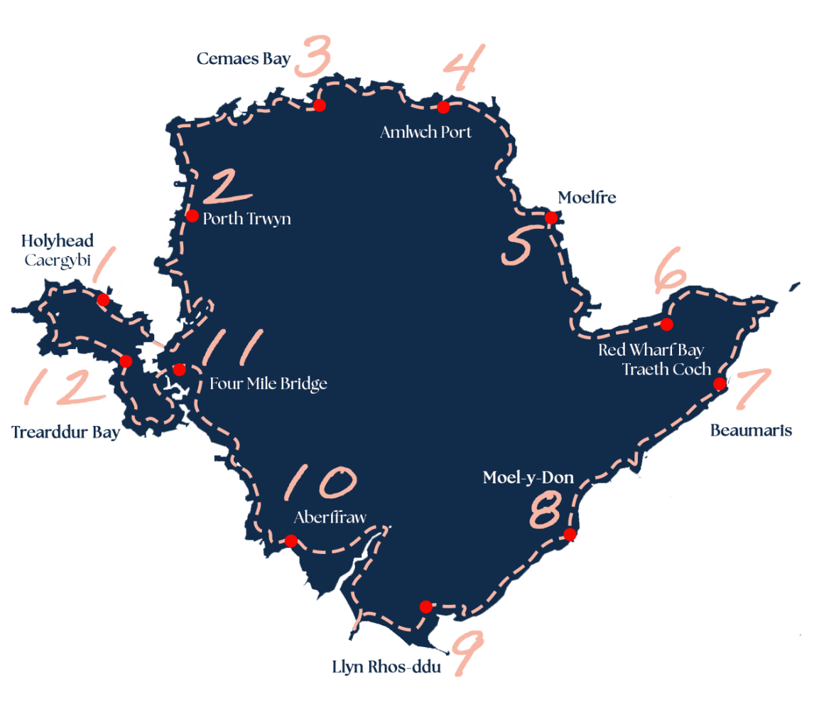
The coastal path is split into 12 different sections, which makes it easy to tackle both in smaller sections over a longer period, or as one whole endeavour on an Anglesey walking holiday. The sections are:
- Holyhead to Porth Trywyn (Llanfaethlu)
- Porth Trywyn (Llanfaethlu) to Cemaes
- Cemaes to Amlwch Port
- Amlwch Port to Moelfre
- Moelfre to Red Wharf Bay
- Red Wharf Bay to Beaumaris
- Beaumaris to Moel y Don
- Moel y Don to Llyn Rhos-ddu
- Llyn Rhos-ddu to Aberffraw
- Aberffraw to Four Mile Bridge
- Four Mile Bridge to Trearddur Bay
- Trearddur Bay to Holyhead
Anglesey Coast Path Map
Following the above sections will take you on a clockwise route around the island, although you can reverse and tailor your itinerary to suit. Take a look at our coast path map below, or refer to the helpful online guides from Visit Anglesey. Alternatively, if you prefer to follow a physical map, the OS Map Atlas: Wales Coast Path: Isle of Anglesey is a great choice, and available to order from many online shops. Be mindful, though, that you should check for any updates, diversions and closures before you set off.
1. Holyhead to Porth Trwyn (Llanfaethlu)
Start Point: The obelisk at the corner of Market Street, close to St Cybi’s Church
Distance: Approx 11 miles
Highlights: Holyhead Port & St Cybi’s Church
Depart from the start point in Holyhead, bordering the inland sea until you head north towards Church Bay – where saucer-sized scones with jam and clotted cream await at Wavecrest Cafe. Alternatively, a right-hand turn just before Porth Trwyn will take you to Llanfaethlu village, where you can catch the bus back to Holyhead.
2. Porth Trwyn (Llanfaethlu) to Cemaes
Start Point: The grassy headland behind Porth Trwyn, Llanfaethlu
Distance: Approx 10 miles
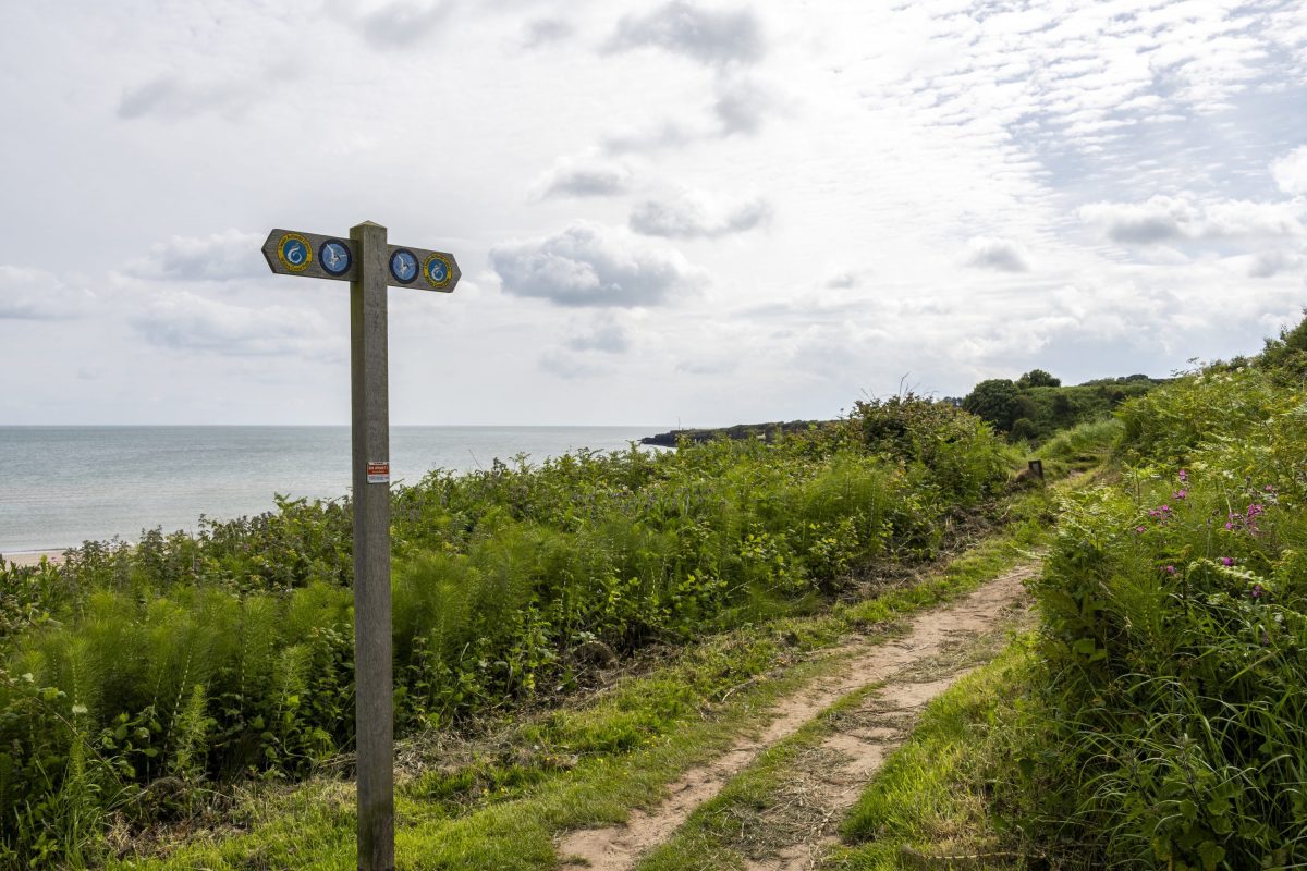
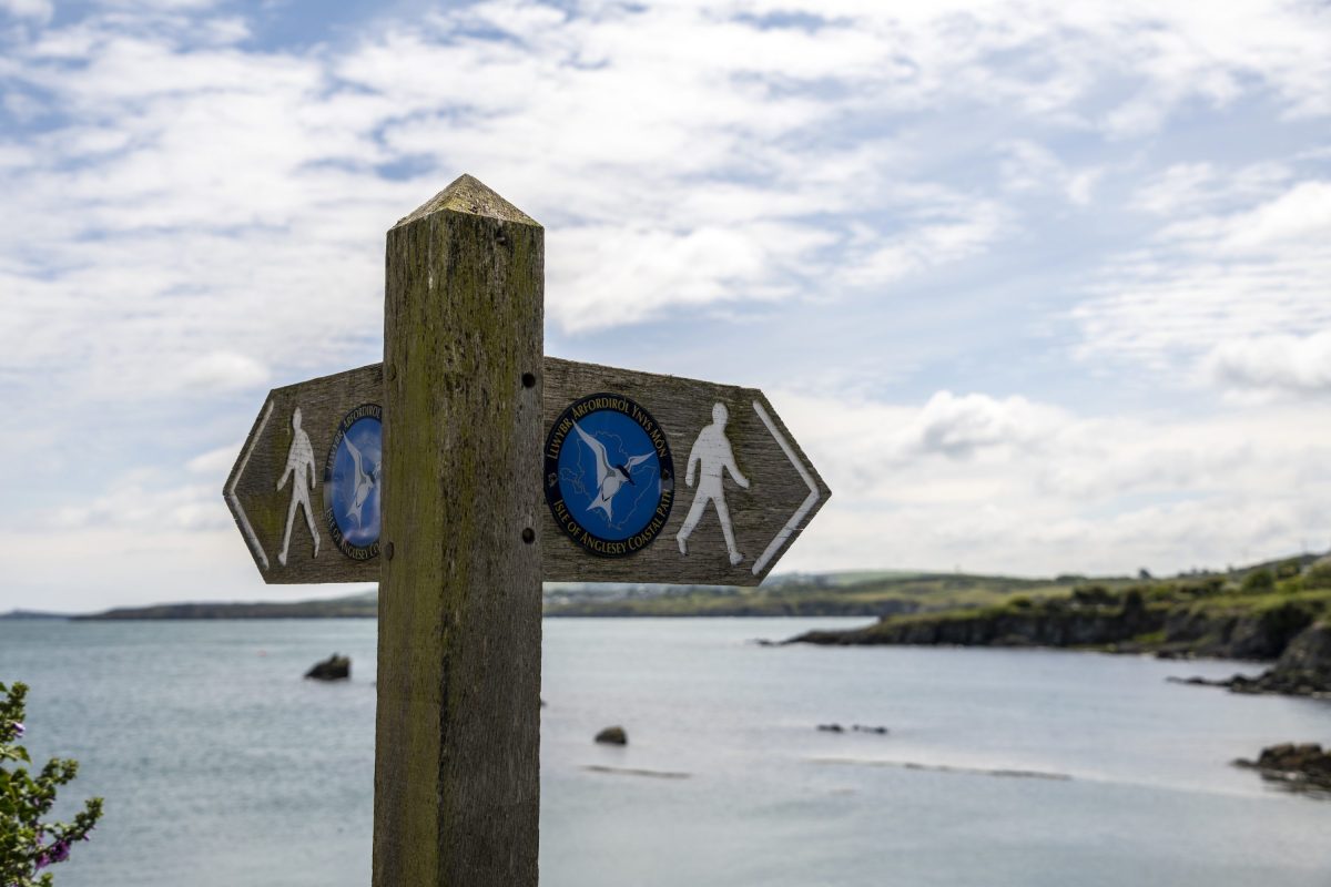
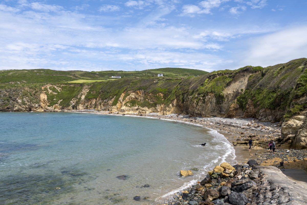
Highlights: Views of The Skerries from Carmel Head, Ynys y Fydlyn sea arch and Cemlyn Bay & lagoon – a protected breeding ground for Arctic Terns (which is why they are the logo for the Anglesey Coast Path!)
This section threads together beaches, cliff-top fields and sheltered coves, with several gates, stiles and footbridges along the way. Expect exposed sections near the cliffs, plus a seasonal inland alternative that rejoins the coast near the Two White Ladies before continuing past Cemlyn (the nature reserve here is a particular highlight,) Wylfa Head and finally into Cemaes.
3. Cemaes to Amlwch Port
Start Point: Anywhere in Cemaes Bay – the main beach or harbour is best
Distance: Approx 8.1 miles
Highlights: The historic Llanbadrig Church (said to be established by St Patrick himself in the 5th Centry) as well as the ruins of Victorian industry such as Porthwen Brickworks and Llanlleiana Porcelain works.
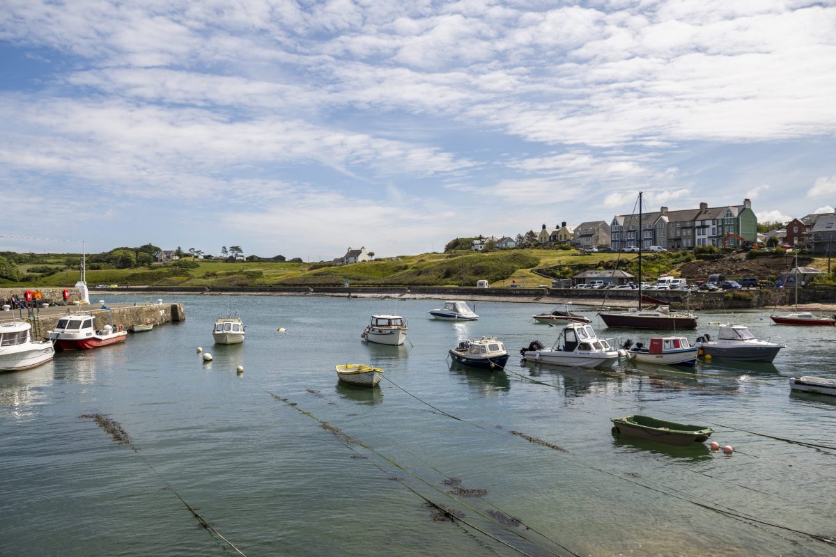
This section of the Anglesey Coast Path starts close to the shoreline, threading past old Victorian brickworks, rocky coves and the Bull Bay cliffs, then dropping into Bull Bay itself beside the hotel and harbour-side road. It then follows a more mixed stretch of coast and lanes past Traeth Dynion, the Afon Goch and Amlwch Port, ending at the harbour and quay.
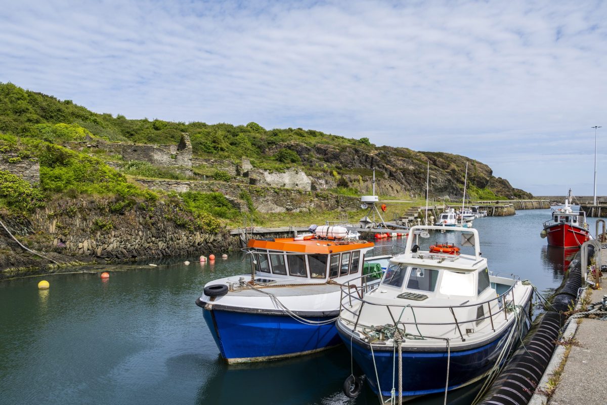
4. Amlwch Port to Moelfre
Start Point: Amlwch Port
Distance: Approx 12 miles
Highlights: Point Lynas lighthouse and Ynys Dulas just off Dulas Bay, an island with a stone tower that was once stocked with supplies to accommodate shipwrecked sailors.
From Amlwch harbour, the route slips away from the quay and out across heath and footbridges around Llam Carw, before climbing through Ffynnon Eilian, Porthyrychen and the coast near Point Lynas. It then stays close to the shoreline past Porth y Corwgl, Freshwater Bay and Porth yr Aber, with a longer inland section through lanes, estates and the Dulas Estuary before the coast returns again.
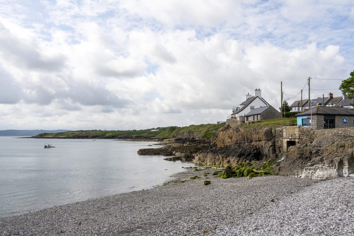
5. Moelfre to Traeth Coch (Red Wharf Bay)
Start Point: Moelfre’s pebble beach or the lifeboat station
Distance: Approx 6.2 miles
Highlights: The lifeboat station of Moelfre, which is near the bronze statue of Dic Evans – a legendary local coxswain known for his bravery and service. The village also has lots of historical ties to the Royal Charter disaster of 1859.
Leave Moelfre and follow the coast south-west, starting above Porth yr Aber and through Nant Bychan before reaching Traeth Bychan, where the route splits for low tide or an inland tide-safe diversion. From there it climbs and threads around Penrhyn and Borthwen, then carries on through Benllech, the caravan park at St David’s and the seafront before dropping into Red Wharf Bay.
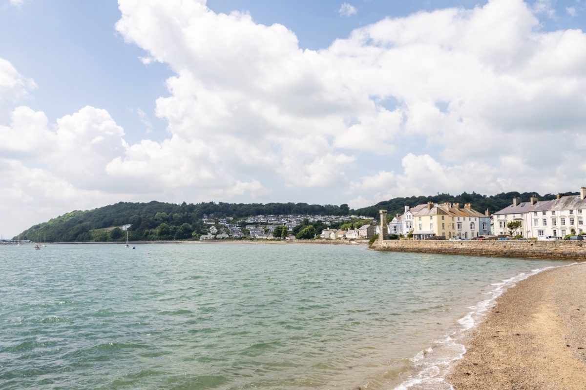
6. Traeth Coch (Red Wharf Bay) to Beaumaris
Start Point: The far end of Red Wharf Bay, where it becomes Llanddona Beach
Distance: Approx 13 miles
Highlights: The iconic striped lighthouse at Penmon Point (you could also spend some time at the beautiful Priory and churchyard here, too)
From Traeth Coch, this leg follows the shore east past sea wall sections, rushes and little footbridges, then climbs inland through fields and the National Trust land at Fedw Fawr before easing back onto lanes near Gwelfor. It then threads through quieter country lanes and field edges past Tros y Marian, Cerrig Duon and Penmon, finishing with a final bend at the sign for Penmon.
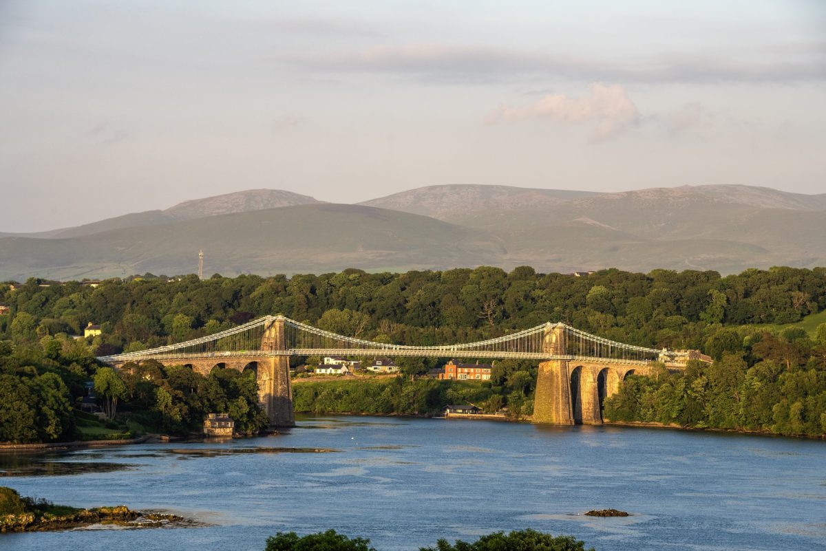
7. Beaumaris to Moel y Don
Start Point: The pretty seafront at Beaumaris
Distance: Approx 10 miles
Highlights: Menai Suspension Bridge, Britannia Bridge lions, Sir Kyffin Williams’ cottage & Bryn Celli Ddu
Leave Beaumaris and follow the promenade out of town, then climb inland over Pen-y-Parc into Llandegfan before dropping into Menai Bridge and heading beneath the iconic Menai Suspension Bridge. From there, the route shifts between wooded paths, shoreline sections and short road links, passing St Mary’s church, Pwllfanogl and the shoreside at Moel y Don.
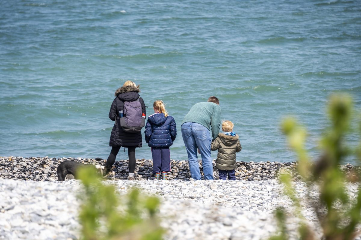
8. Moel y Don to Llyn Rhos-ddu
Start Point: The laneway on the approach to Moel y Don car park
Distance: Approx 8 miles
Highlights: The giant stepping stones of the Afon Briant, and spellbinding views of Snowdonia over the Strait
Section eight of the Anglesey Coast Path is a patchwork of lane walking, field edges, woodland paths and a couple of tidal pinch points, so it feels less like a dramatic coastal traverse and more like a link between shore and hinterland. The stepping stones on the River Braint are the key natural choke point, and it’s worth checking tides before setting out.
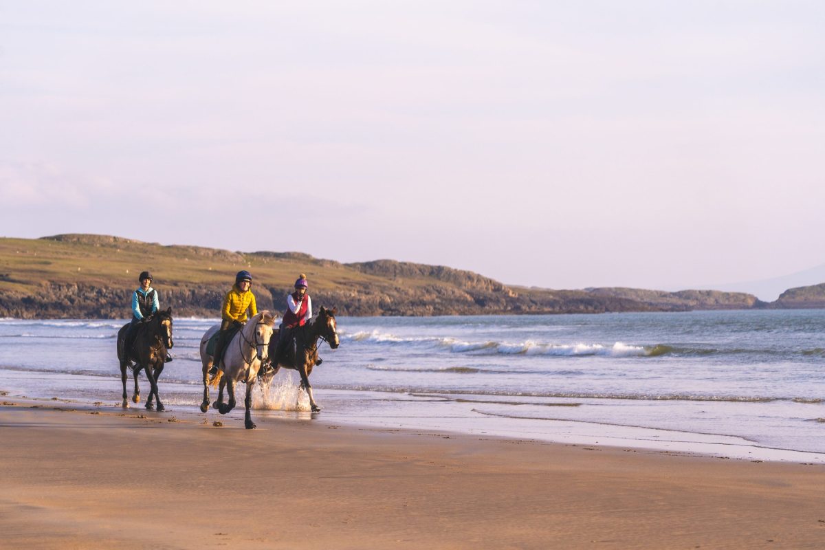
9. Llyn Rhos-ddu to Aberffraw
Start Point: The car park at Llyn Rhos-ddu
Distance: Approx 13 miles
Highlights: Newborough forest nature reserve & Llanddwyn tidal island where you’ll find two lighthouses, a row of Pilot’s Cottages, the ruins of a church and even grazing wild ponies if you’re lucky.
From Llyn Rhos-Ddu, the route heads through Newborough Forest, with an optional spur out to Llanddwyn Island before looping back through the woods and around the edge of Malltraeth estuary. It then crosses Malltraeth Cob, follows the village edge and shoreline, and continues through dunes and farmland past Aberhoccwn, Bodorgan Estate and St Meirian’s Church, with a beach option at Traeth Mawr or a simpler lane finish into Aberffraw.
10. Aberffraw to Four Mile Bridge
Start Point: Aberffraw Village
Distance: Approx 14.3 miles
Highlights: The beautiful ‘Church in the Sea’, Eglwys Cwyfan & the thundering jets taking off from RAF Valley on a clear day
This is a classic west Anglesey section: sandy beaches, low cliffs, causeways, dunes and long shoreline stretches, with a few inland links to keep you moving between the coast and villages. The tide-free option around Traeth Llydan is useful if you want to avoid the beach, but the whole stretch still keeps a strong seafront character.
11. Four Mile Bridge to Trearddur Bay
Start Point: The village end of the bridge itself at Four Mile Bridge
Distance: Approx 9.5 miles
Highlights: The sea arches of Bwa Gwyn and Bwa Ddu as well as St. Gwenfaen’s Well at Rhoscolyn
From Four Mile Bridge, the route follows the Inland Sea, then cuts inland through fields and farm lanes, with a timed tidal option around the estuary side before rejoining the main line near Llanidan and Bodior. It then moves on through woodland, Silver Bay, Borthwen and Rhoscolyn Head, before finishing with a coastal run past Porth y Garan, Porth Castell and Porth Diana to Trearddur Bay.
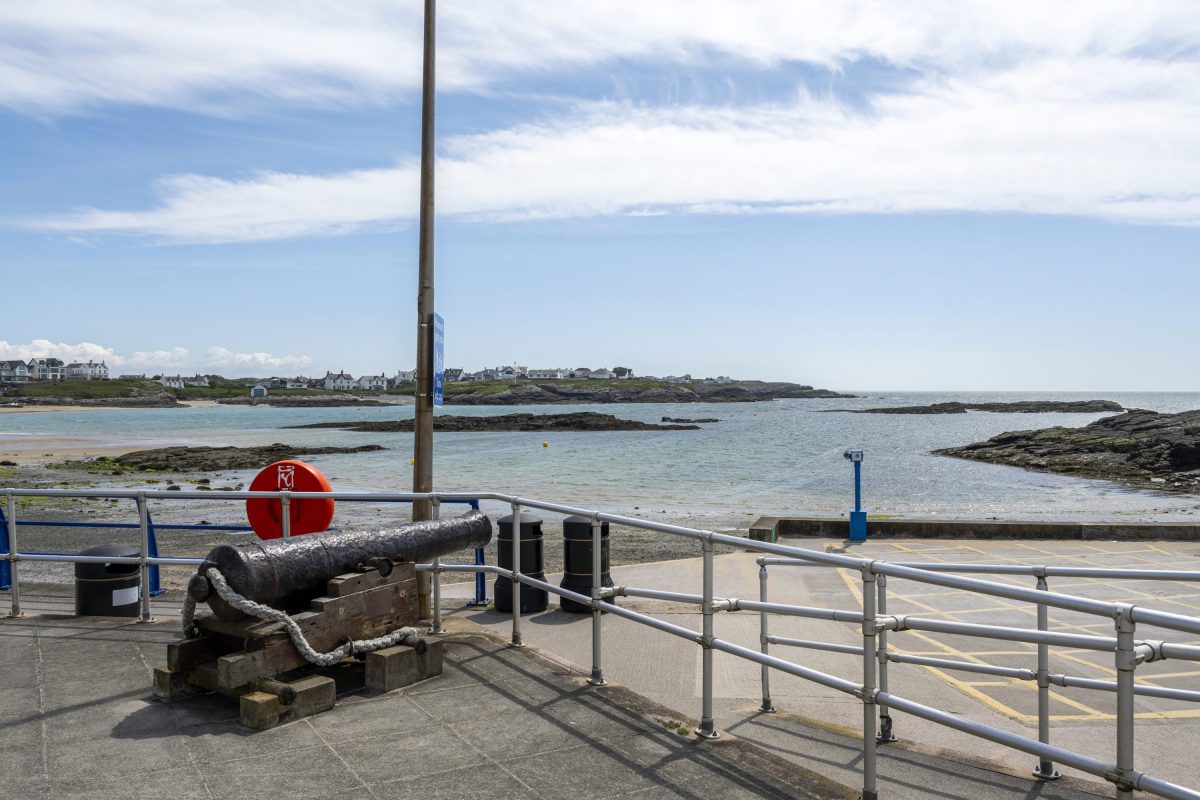
12. Trearddur Bay to Holyhead
Start Point: The western end of Trearddur Bay’s promenade
Distance: Approx 11.5 miles
Highlights: Dramatic cliffs, South Stack Lighthouse & an optional detour to the top of Holyhead Mountain (Mynydd Tŵr)
The last leg of the Anglesey Coast Path is all rugged, secret coves and dramatic clifftop scenery. Follow the coastline from Trearddur Bay as it snakes alongside Porth y Post, Porth Dafarch and Porth Ruffydd, before rounding the top of Holy Island at South & North Stack and finally returning to the start point in Holyhead.
Book a walking holiday on Anglesey
Idyllic in all seasons, our beloved Ynys Môn is the perfect choice of destination for a walking holiday. The Anglesey coastal path is a wonderful way to see the island, allowing you to encounter postcard-perfect fishing villages, breathtaking panoramas and unique flora and fauna.
At Oyster Holiday Cottages, we have a range of cottages to choose from that are conveniently placed for walking the Anglesey Coast Path – whether you want instant access to the beach or you simply want the comfiest possible bed to collapse into at the end of each day, we’ve got just the place. Our locally based team can also arrange transport between segments, crafting a bespoke itinerary based on your coastal path adventure, as well as recommending places to eat, things to do, and ways to enjoy a rest day in the area around your cottage.
